Sri Lanka National Hydrographic Office Publishes New Hambantota Harbour & Approaches Electronic Navigation Charts
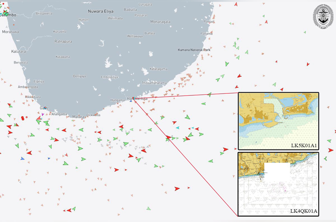
The Sri Lanka National Hydrographic Office (SLNHO) continues its steady progress in strengthening national hydrographic capability with the successful publication of new Electronic Navigation Charts (ENCs) for Hambantota Harbour and its approaches. The newly released ENC cells LK5K01A1 (Hambantota Harbour) and LK4QK01A (Hambantota Approaches) incorporate the latest bathymetric survey data, significantly enhancing the safety and efficiency of navigation in this strategically important maritime area.
Following this milestone, the SLNHO continues to advance its national hydrographic capability through systematic surveying, Updating of charting data, and sustained capacity building. The publication of ENC cells LK5K01A1 and LK4QK01A represents another significant step in SLNHO’s ongoing efforts to enhance maritime safety, support efficient port operations, and safeguard Sri Lanka’s wider economic and national maritime interests.
Image